|
|
Pozzoni - realtà aumentata - Barmenia SignApp - Os Reis de Portugal - Találd Ki! Ingyenes - ABattery - اجمل عبايات زارينا - 3D Mountain Bike Race - Bloons TD 5 Play - Strategies -
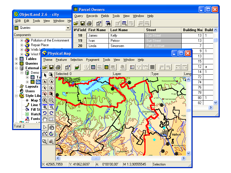 | GIS ObjectLand is a universal Geographic Information System for Windows. Key features: - creation of vector-raster maps with arbitrary structure of layers and feature types; - creation of themes. Theme is a user presentation of a map; - control of displaying features depending on the chosen scale; -...
|
 | GIS ObjectLand is a universal Geographic Information System for Windows. Key features: - creation of vector-raster maps with arbitrary structure of layers and feature types in an internal ObjectLand database or in following DBMSs - MS SQL Server, Oracle, DB2, MySQL, Interbase/Firebird, PostgreSQL, M...
|
RoboGEO (in Image Conversion)
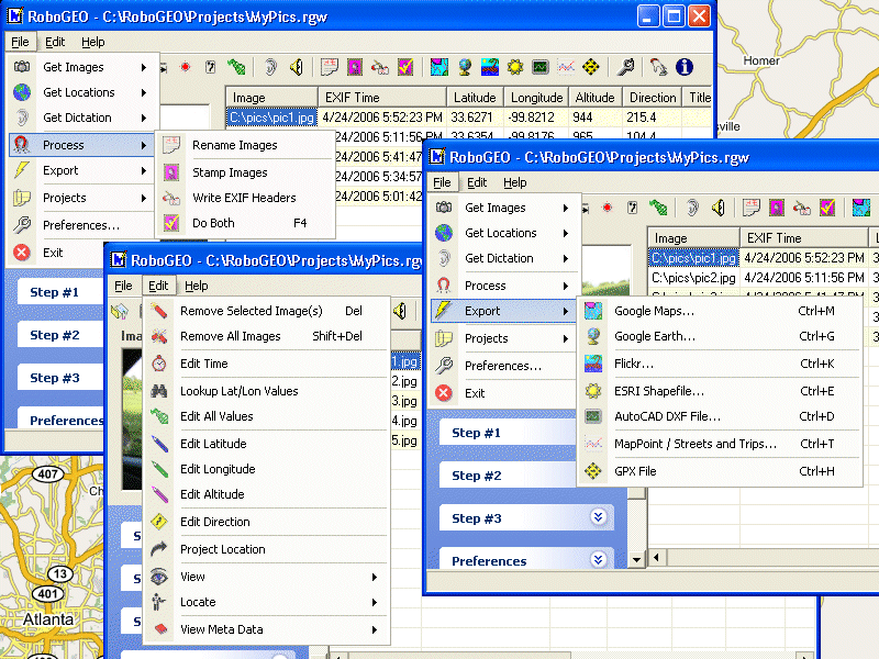 | Geotag digital images with latitude, longitude, altitude, and direction information. RoboGEO stamps this information onto the actual photo or writes it to the EXIF headers, allowing you to permanently geotag and link your photos to the GPS coordinates. All writing to the EXIF and IPTC headers is los...
|
RoboGEO (in Image Conversion)
| Geotag digital images with latitude, longitude, altitude, and direction information. RoboGEO stamps this information onto the actual photo or writes it to the EXIF headers, allowing you to permanently geotag and link your photos to the GPS coordinates. All writing to the EXIF and IPTC headers is los...
|
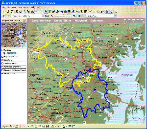 | MPSuperShape is a shape manipulation tool for Microsoft MapPoint. MPSuperShape can be used to combine multiple shapes into one large shape, find the intersections (overlaps) between shapes, find boundary shapes around groups of pushpins, simplify shapes, delete multiple shapes, change shape colors, ...
|
OkMap (in Applications)
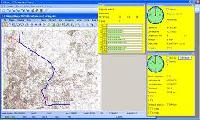 | OkMap is a free software for many outdoor activities: - Search and rescue - Trekking - Off road - Boating - Flying - Mountain bike - Geocaching - Hunting and fishing - Finding mushrooms - Soft air OkMap help you to: - Calibrate raster maps with different types of projections - Create own digital map...
|
|
|